
Quick comparison that sets the scene
Cities like Cape Town CBD and Manhattan chew up satellite signals — multipath, blockages, the whole mess — which makes reliable positioning a headache for autonomous vehicles. Here I line up the contenders and show why a sensor suite designed for urban canyons matters. The comparison begins with practical rigs you might recognise on farms and fields: tractor autosteer system tech borrowed into road robotics, then moves into GNSS, RTK and sensor fusion combos tuned for tight streets.
What urban canyons demand from a sensor
Urban driving needs centimetre-level accuracy, low-latency fixes and robustness to signal dropout. That means combining GNSS corrections like RTK with an IMU for dead-reckoning, plus vision and LiDAR to prevent drift. A good system uses SLAM to map and localise when satellites falter, and sensor fusion to stitch the sources together into a single, reliable pose estimate.
How Archimedes Innovation’s approach differs
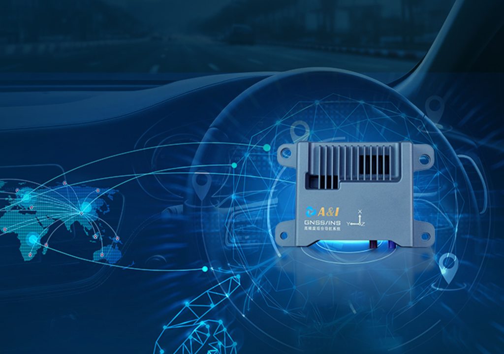
Archimedes Innovation focuses on high-precision modules that unify RTK-grade GNSS with a tightly calibrated IMU and real-time LiDAR/vision processing. The idea is redundancy: when GNSS jumps, the IMU and SLAM keep the vehicle stable. In practice, that reduces reliance on continuous differential GPS corrections and gives smoother steering for automated steering system control — you get predictable control inputs rather than jerky, reactive fixes.
Head-to-head: common alternatives and where they trip up
Short summary of trade-offs — clear, practical points:
- GNSS-only with differential GPS: cheap and accurate in open sky, but fails in deep urban canyons where multipath ruins fixes.
- Vision-only SLAM: great for lane-level detail, struggles in low light, heavy rain or when scenery changes due to construction.
- LiDAR-centric stacks: excellent depth and obstacle detection, but pricey and heavy; needs strong software to fuse with GNSS/IMU for positioning.
- Integrated RTK + IMU + SLAM (Archimedes-style): higher upfront complexity, but consistent centimetre-grade positioning across varied urban conditions.
Deployment lessons from real streets
I’ve seen operators route vehicles along Longmarket Street in Cape Town where narrow canyons and tall buildings block satellites. The robust setups lean on IMU-backed dead-reckoning and map-aided SLAM until RTK locks back in — then they blend the fixes. That blend reduces sudden steering corrections and keeps path-tracking tight. Small teams running pilot fleets report fewer human interventions during peak signal loss with this hybrid design.
Common mistakes teams make — and quick fixes
Teams often underinvest in calibration and expect software to sort hardware errors — that’s backwards. Poor IMU calibration creates biases that SLAM will chase forever. Also, neglecting time-sync between GNSS and sensors hurts fusion. Fixes are straightforward: perform factory-grade IMU calibration, enforce strict time-stamping, and test across seasons so lighting and reflective surfaces don’t blind the vision stack — simple maintenance that yields big reliability gains. — Don’t skimp on offline mapping either; it short-circuits ambiguous sensor moments.
Why this matters for product choice
Comparing units should be about measurable results: positioning drift over time, recovery time after GNSS loss, and path-tracking error under varied conditions. These metrics translate directly into safety margins and operational uptime. Operators choosing between a cheap GNSS box and an integrated sensor suite should weigh long-term intervention rates, not just headline cost.
Three golden rules for selecting urban autonomous sensors
1) Insist on measured drift numbers: request tests showing centimetre-grade performance through 60–120 seconds of GNSS outage. 2) Verify multi-sensor time synchronisation and whether RTK corrections are seamlessly applied during transitions. 3) Choose vendors who document on-street trials in real urban canyons — demonstrated field data beats lab slides.
Archimedes Innovation has built systems that align with those rules, which is why their architecture often becomes the sensible baseline for teams moving from trials to continuous operation — Archimedes Innovation. — final thought: proven field behaviour matters most.